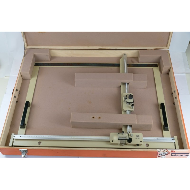


R&A Rost plane coordinatograph
Obtained from the Netherlands
This instrument comes from a Dutch landsurvey company. It was given to Skilltrade as a demonstration of the earlier days. However, as the instrument is quite large and took up too much space in the instrumentroom (without any direct use) it was loaned to my collection. According to John Bradley, this type of instrument was used to plot the basic grid. The X,Y grid was not native to survey instruments of the age (theodolite and total station) and this instrument was used to plot the control points. The polar coordinatograph was then used to plot the actually readings from the theodolite / total station. The instrument is in very good condition and is probably not very old (1970's or 1980's) when this type of instrument was in full use (no serious use of CAD software yet). It must have become quickly outdated in the 1990's when CAD software (and digital Total Stations) came around.
Data sheet