Other length
In this category all other 'distance measuring' devices fall. Currently they contain (or will contain):
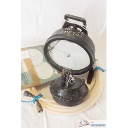
- Altimeters using pressure to define height
- Echo sounders using sound waves to define depth
- Tide gauges that measure height differences using either pressure or by direct action of a float or similar
Subcategories
-
Radio navigation
Radio navigation systems use terrestrial radio beacons. Systems can be direction, range-range or hyperbolic. In direction mode a receiver homes in on one or more beacons using the crossing between them as the position such as in a Radio Direction Finder (RDF). Range-range and hyperbolic systems use the same principle. i.e. the travel time between the signal as transmitted from a beacon untill reception. In passive mode a minimum of three stations are generally received. In active mode the tranmitter is on-board a vessel and two beacons are located on shore.
The difference between a range-range system and a hyperbolic system lies in the way the distances are processed. In range-range they are processed directly (as a distance) into the position solution whereas in hyperbolic mode the difference between two distances (a pair of stations, a master and a slave station) are computed. In hyperbolic mode a starting position must be supplied or a method of counting 'lanes' must be employed to discriminate between different locations with the same range difference.
Satellite Navigation systems are in a separate category but are essentially also range-range systems.
-
GNSS Receivers
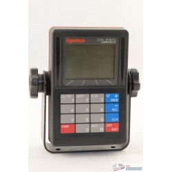
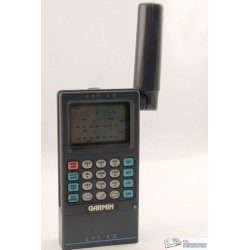
Global Navigation Satellite Systems or GNSS comprise all positioning systems using satellites including GPS, Glonass, Galileo and Beidou. These systems measure pseudo ranges between at least four satellites and the receiver on the ground. The distance measurement is essentially the same as for an EDM (speed times travel time) but with an additional uncertainty for the clock error at the receiver. However, where an EDM only measures a single distance, a GNSS measures a number at the same time (minimum of four, usually more than eight) and converts it to a 4D position. As such it is also a time measuring device.
-
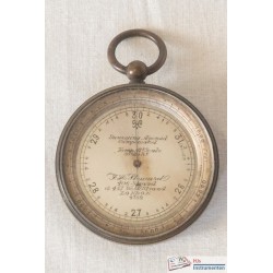
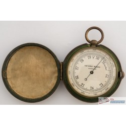
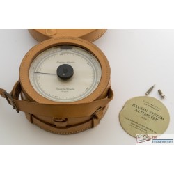
Altimeter
The barometric height sensor uses a barometer (usually of the aneroid type) which is set to 'zero' height at mean sea level (or any other height that is known as a starting point). The scale on the barometer is calibrated for a 'standard' atmosphere thus allowing a decrease in pressure to be converted on the scale to an increase in height.
-
Tide gauges
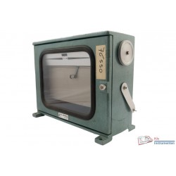
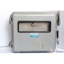
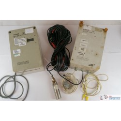
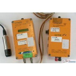
The tide gauge measures the rise and fall of a water level. This can be done using a pressure sensor that measures differences in the pressure under water and computes those into a difference in water column, using a float that directly measures the height difference or using either sound, radio waves (radar) or laser to compute the distance from a transducer to the water surface.

