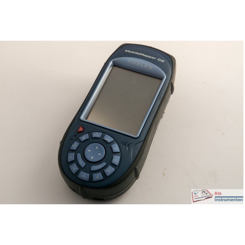


Thales Navigation MobileMapper CE.
Product details: Thales Navigation MobileMapper CE | Sercel (Spectra Precision) | GNSS Receivers | Survey |
This handheld GIS type GPS receiver was donated to my collection by Rijkswaterstaat via Nicolas de Hilster. I have seen the instrument working for a brief moment. It seems the batteries are no longer charged as the moment it worked is when I popped in a new battery and it ran of the remaining power in that battery. Probably not an easy repair and no option to charge the batteries externally. Apart from that it runs Windows CE, not the best of operating systems.
This unit was probably used to position bottom samples or groundwater monitoring as it came with that software ('Boormanager') installed. There also was a barcode reader that could be connected to the unit via Bluetooth (but also had a flat battery which wouldn't load anymore). I have tested its bigger brother, the ProMark 3 which was a decent but not top notch system and the awkward layout of the buttons probably does not help an easy operation on this one. The small docking station seems a good idea untill it gets lost and charging becomes impossible.
Data sheet